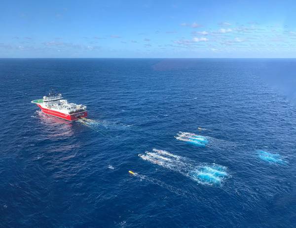
Petrobras is managing to further expand its geological knowledge in pre-salt areas. The company announced that it has concluded a 3D seismic survey in the Itapu field, in the Santos Basin. The survey was carried out by PXGeo do Brasil using 3D node technology. Work began in October, approximately 174 kilometers from the coast, in a water depth of 1,600 meters.
In February Petrobras will start a new seismic survey, this time in the Aram field, about 167 kilometers from the coast and at a depth of more than 1,200 meters. Data acquisition will also be carried out by PXGeo do Brasil, using the Artemis Odyssey seismic vessel. The activity will last approximately 130 days and should be completed by June. The objective is to map the marine subsoil as if it were an “ultrasonography”, aiming to find structures with the potential to store oil and gas.
The seismic survey is a type of investigation carried out before the process of exploration and production of oil or natural gas at sea. It is based on an acoustic method (using sound waves), which makes it possible to identify the sedimentary layers where hydrocarbons are accumulated. This tool does not predict the exact location of oil and/or gas accumulation, but it indicates the most likely points for its concentration. Thus, the acquisition of seismic data can be performed for new discoveries or for monitoring production fields.

Leave a comment