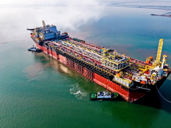
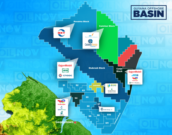
Viridien Launches Charrua 3D Seismic Survey Offshore Uruguay

March 6 (OE) Viridien has kicked off the Charrua 3D multi-client seismic survey offshore Uruguay, marking a new phase of exploration activity in the country’s offshore basins. Data acquisition will be carried out by the vessel BGP Prospector, with the company applying seismic imaging technologies including time-lag full-waveform inversion (TLFWI) to produce high-resolution subsurface images.... Continue Reading →

3D Seismic Survey data to support creation of Guyana’s first Petroleum Data Repository

Feb. 3 (oilnow.gy) Data collected from new 3D marine seismic surveys across deepwater offshore blocks left unawarded or unresolved in Guyana’s first oil and gas auction will soon play a key role in establishing the country’s first Petroleum Data Repository. The Guyana government first signalled plans to operate a petroleum data repository in 2023, citing concerns that... Continue Reading →

PXGEO Appoints New Technical and Operations Chiefs

Jan. 14 - Marine seismic company PXGEO has appointed two senior executives to strengthen its leadership team and support operational performance across its global operations. Bob Nouh has been named technical solutions director and senior vice president, while Carlos Cubeddu has joined the company as operations director and senior vice president. Nouh brings nearly 30... Continue Reading →

Angola licensing round boosted by Viridien’s seismic reimaging program

Dec.10 (splash247.com) Viridien, formerly CGG, has announced a new multi-client seismic reimaging program over Angola’s highly prospective offshore block 22 to support the country’s upcoming licensing round. The 4,300 sq km high-end data set will provide insight into underexplored structures along the Atlantic Hinge zone, following the same trend as the proven Cameia and Golfinho... Continue Reading →

TGS Begins Survey in the Pelotas Basin

Dec. 1 (TN) TGS began, this Saturday (November 29th), 3D marine seismic survey in the Pelotas sedimentary basin, Pelotas Norte Phase I program, 96 kilometers off the coast of the municipality of Laguna, in Santa Catarina, between the municipalities of Florianópolis and Palmares do Sul, at depths greater than 200 meters. The research area was... Continue Reading →

Blog at WordPress.com.

Up ↑