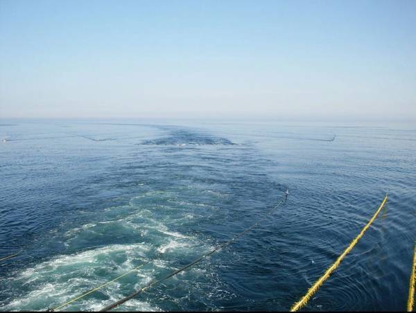
(PetroleoHoje) Petrobras will carry out a 3D seismic acquisition campaign with nodes and gravimetric and magnetometric surveys in Iara, in the Santos cluster. The mapping will involve the shared deposit of Atapu and the fields of Berbigão and Sururu.
The 3D seismic acquisition service will be contracted through a recently launched tender by the oil company, whose delivery of proposals is scheduled for May 6. The survey will cover a shooting area of about 2,032 km².
The activity will be directed to the areas of Atapu Norte, Oeste de Atapu, Norte and Sul de Sururu, Berbigão and Norte and Sul de Berbigão, being carried out in water depths of 1.9 thousand to 2.4 thousand m.
The receiver area will cover 1,309 km², with a density of 162 km². The winning company will have to carry out the mapping adopting a minimum source pressure of 2 thousand PSI. Petrobras requires the number of airguns per source to range from 18 to 28.
The 3D seismic campaign will only start in January 2023. All work will span about two years, being finished only in 2025.
The public notice for contracting the service was recently launched. The delivery of the proposals was originally scheduled to take place next week, but Petrobras has extended the deadline to April.
The minimum recording time for each shot will be 11 seconds, with a spacing between shots of 7.5 seconds.
Petrobras is currently coordinating another bid aimed at acquiring seismic data.

Leave a comment